I was just starting up the Ammonoosuc Ravine Trail (the Ammy) on Saturday (8-14-10) morning as old Waumbek was just leaving the Cog Railway Base Station pushing a car load of sightseers bound for the summit and, as always, it was tempting to try and race it to the top. Luckily I had a good excuse not to race as I was carrying all my snorkeling gear up to the hut.
 This photo's an invitation to get on the trail and let it take you to the highest peaks and that enchanted land of rocks and clouds where you can look out and see beyond the farthest ranges.
 There were lots and lots of people, families it seemed, on the trail heading for the summit.
 I'm fond of this ladder. It's very cool. It's stood here on the upper part of the Ammy for as long as I can remember. I've climbed up and down it a zillion times and each time I've had a warm pang of appreciation for its sturdiness and how well it's placed. It's rock solid. I've even wondered who made it. I guess, I wish I'd made it. It's such a practical, well built ladder.
 The Ammy was kind of like the Chilkoot Trail with everyone rushing to get to the summit.
 Sheep Dog! It actually looks like a dog from this angle.
 Alpine Goldenrod. There was goldenrod blooming everywhere last week, in the valley and up and down the mountain. There were probably five or six different varieties. There are probably goldenrod seeds embedded in the ice and snow on the summit of Mt. Everest.
 Mountain Sandwort and Haircap Moss
 Three toothed cinquefoil (Potentilla tridentata)
 Arran Dinsdorf, Birthday Boy. It really was Arran's birthday! He was over by the lake when I arrived with all my gear and we talked while I slowly got ready to get in the water. It had been brightly sunny when I first got to the ridge but the longer we talked the darker and colder it got. A wind picked up from the east and thick, dark clouds hung over the lake.
Arran, "You're not going to go hypothermic on me are you?"
Me, "Naw. I'll be fine."
Arran, "Well, I'm going to run down to the hut and put lots of hot water on just in case."
 As he left I slid into the water which I have to say was painfully cold. The nights have been in the 30's (F) and it had snowed on the ridge a few nights prior to my swim. Still, it was the dark clouds and cold wind that made it so miserable last Saturday.
 From my entry point this was what the bottom looked like. At first there were huge boulders ringing the outside edge of the lake that I brushed against as I swam and towards the middle, flat, smaller stones.
 Twenty-five feet out from the shore the boulders thinned and the bottom consisted of a sterile sediment that looked and felt a lot like like cinders from the cog railway engines. It was gritty and there was thin layer of it covering the rocks.
 Towards the north shore of the lake the bottom was was covered with these large flat stones. They were four feet below the surface. I could stand on them easily. They weren't slippery as most subaerial rocks are.
 Even under the water I could hear people talking over by the outlet. Their voices carried easily over the water and seemed like they were standing right next to me.
 It was in this area along the north side of the lake and all the away around towards the estern shore straight ahead where we found dense vegetation on the bottom of the lake 45 years ago (1965).
 This is what the bottom looks like in that area now. The general feeling of swimming, other than the cold, was that I was in a large swimming pool. The water was remarkably clear and with the occasional sun making these undulating rivulets of light there was even a sense of warmth.
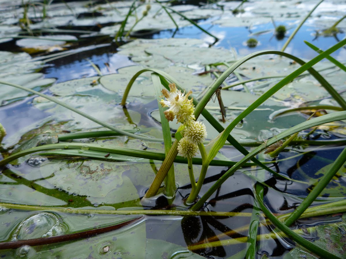
 The plants, and I don't know the name of them yet, were arranged in phalanxes.
 Each of the plants was encased in algae. The sediments here resembled a soil medium that the plants can grow prolifically in and I wish I had taken a small sample. It will be interesting to find out what role the algae plays in the plants' life, if it's symbiotic, or not.
 Here I was moving down and across the eastern end of the lake and the deepest part at 9 feet deep. I went down to look at this plant only because it looker surreal andresembled a large green sponge.
 The southeast bottom area with a what looks like a green shag carpet.
 I got a chance to dive down and put my hands in the sediments at the bottom where I wouldn't disturb any vegetation and it felt exactly like loam. The texture surprised me as it was soft and I could stick my hand down into it (not like the gritty feeling of the sediments in the northwest area of the lake).
 When I kicked at the soil with my swim fin, causing a slight turbulence, the material lifted lightly up into the clear water but only took a few minutes to settle (unlike Eagle Lake).
At this point I'd been in the water just over 30 minutes and I couldn't take the cold any longer, so, with my legs badly cramped, I swam like an eggbeater back to the rocks where my towel and warm clothes were.
 I passed over massive bits of Littleton Schist like this one lying in 5 feet of water half way to the west shore. When I got out of the water I began to shiver uncontrollably. I dried off as much as I could, but was shaking so hard I couldn't change out of my wet gear and I made a B-line for the hut. I shivered for 45 minutes, even while drinking several bowls of hot soup.
 This is probably the best way to say good bye to the 2010 Summer season with Arran and Johaness futzing around getting ready to pack out their personal belongings as they leave Lakes after an "awesome summer." Arran is heading back to college, Johaness will be hutmaster at Zealand until mid-October. They arrived on skis in late May but now, alas, have to carry them back to the summit.
 Berg Heil!