Tuesday morning (8-31-2010) at 5:30 am I was lucky enough to be standing on the summit of Mt. Madison with clear skies waiting for the sunrise. The photos don't show it but the wind was blowing around 50 mph making it difficult to hold the camera steady, but a perfect morning nonetheless.

From my perspective the sun rose over Mt. Shelburne-Moriah at the northern end of the Carter-Moriah Range. The Osgood Ridge descends Madison in the foreground.

Mt. Adams, to the west, after being clear most of the night, began to cloud over as the sun began to rise and the wind (out of the northwest) got stronger and was bringing cooler air up from the valley that condensed over the mountains for a moment. The clouds were racing, capping, and then dissipating out over Great Gulf. Mt. Washington, over there on the left, was also in and out of the clouds.
Just moments before the sun rose from the haze there was a faint hint of color in the clouds and on the rocks in the foreground......

.....that intensified as the sun rose more and even the cairn took on the rose color until....

....the sun cleared the summit of Mt. Madison and everything caught fire for a moment. The clounds thickened Mt. Adams looking just like cotton and, as I watched, clouds began forming across the the upper, north-facing slopes of Mt. Madison and raced towards me as the wind tore at my clothing.

In just a few seconds the clouds arched over the summit, creating a corona of refracted light around the sun. These are scenes that poets describe clouds as "squadrons" or "armies" "attacking" the cliffs and the sound and force of the wind makes it feel that way, but it's so lovely and amazing to see and to be part of. I watched for awhile and then descended in the mist to oatmeal, coffee and pancakes.

The sunrise at Madison was the finale to a "send off" party for the current Madison Spring Hut attended by a bunch of former Madison croo who came up the mountain the day before to say our goodbyes to the hut we all loved. The hut will be partially dismantled and rebuilt between September and next May. Hanque Parker, 86, (above) is a really lovely guy who worked in the hut system back in the 40's and keeps coming back year after year just like a lot of us. Hanque's stories from the "good old days" are certainly worth a hike up the steep, never-ending Valley Way.

This is another lovely guy, Peter Richardson, also 86, who climbed the Valley Way on Monday with nostalgia part of which was the fact that he worked at Madison in 1942 (before I was even born!) when it was only a year old having been reconstructed in 1941 after the devastating fire of October 1940. I feel like I've known Pete my entire life and it was wonderful to hike with him, part of a small entourage including Hanque, on a leisurely hike up the Valley Way on Monday.

This is another lovely guy, George Heinrichs late of Greenleaf, who was our host at Madison where he's in residence (for another week or so) (then it's back to the books) as the Fall Season Hutmaster. George and his Greenleaf croo won the coveted Latchstring Award for Best Hut in Summer 2010.

And this is "Chez Madison" as regular visitors often affectionately call the hut. I first stayed here as a tyke, a skinny, whiny little kid, in awe of everything. I instantly fell in love with the place.

Chris Stewart, the handsome guy on the left, loaned me this photo of him and Pete (the handsome guy on the right) as they reached the hut along with Hanque and topped out the Valley Way with typical panache. They weren't even sweating! Hanque and Peter brought their wit, their incredible knowledge of the huts and the Hills, and their love for this out-of-the-way place to our little evening get-together.

Madison's charm has always been that out-of-the-way, remote feeling that a mountain refuge should have, and it's tucked into this col between the rugged alpine peaks of Mt. Madison, Mt. J.Q. Adams and Mt. Adams that tower over it and protect it's remoteness from the World.
In the middle of that first night I stayed at Madison in 1954 there was a really loud, tearing, crashing, smashing thunderstorm that made our hair stand on end and it was so beautiful and scary at the same time. In the morning we were in the clouds with a wind from the northwest that sounded like a freight train and it had gotten colder. The clouds were ripping around and over the hut at a fantastic speed. We sat eating breakfast and every few minutes there would be a rent in the clouds and the sun would shaft into the hut like a strobe light (almost like the lightening the night before). Then, in a mere second, the clouds disappeared, the sky cleared to the deepest blue you could imagine, and around us towered those astonishing, enchanted mountains.

While our little gang of old hut folks hobnobbed back at the hut on Monday (8-30-2010) I ran up to J.Q. Adams, to look around a bit. I wanted to get some measurements and photos of the balsam and black spruce community growing around the summit for future reference. I took photos of some individual plants as well. This small community of trees is well established but struggles in this wind ravaged place.

There's an interesting "shelf" that runs at a slight incline from here, partway down J.Q. Adams, all the way across the face of the smaller peak adjacent to Adams and then continues for a way across the east face of Adams. It also stands out on the east face of J.Q.. I wanted to try and traverse it but found it to be slow going, a challenging scramble over boulders and through krummholz. I'll come back when I have a full day to devote to it.

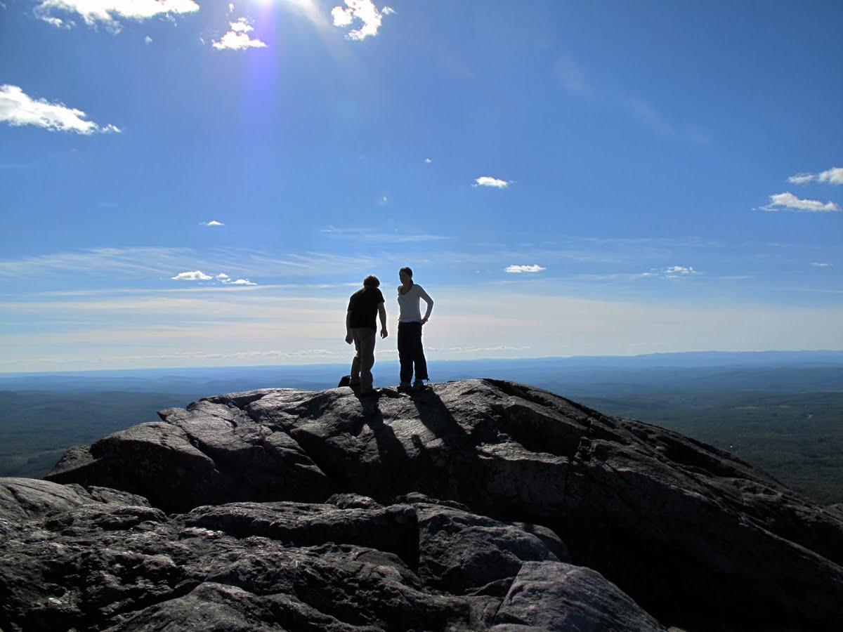
Looking up at Adams from the col, or saddle, between Adams and J.Q. (the J.Q. for those who don't know stands for John Adams' son John Quincy Adams, the 6th US President).You can see what an incredibly beautiful day it was for roaming around above treeline.

In the 1930s and 1940s Dick Golthwait did a lot of data collecting around J.Q Adams and Mt. Adams on the east and west sides of each mountain. He had some of his graduate students map this horseshoe-shaped drift of small rock in detail showing where each rock was at that time. He theorized that the rocks were gradually carried downhill by the mechanism of solifluction and formed this horseshoe, the weight of the rock sliding them down slope their descent lubricated by thawing soil, or mud, before coming to a permanent rest. The grass cells evolved much later.

This is the other half of the above "horseshoe" area. I took elaborate photos to try and match details in the maps made 70 years ago to see if there's any reference to movement or change. The summit on the right, in the background, has recently been officially named Mt. Abigail Adams.(Hooray for Abigail!)

I flirted with two ravens for a while. They're nesting on J. Q. Adams and I disturbed them as I came down from the summit of J.Q. They followed me for a bit, circling above and around me and sometimes coming very close maybe out of curiosity. I was hoping this one, he/she, would come close enough for me to get a good close up photo.

The north side of Mt. Adams' summit. You can see the white sign trail sign that marks the summit sticking up near the center of the photo. You can also get a good idea of the random ordering and sizes of the boulders that mantel the summit cone and lower slopes of Adams.

Le Sommet!

Looking back down to J.Q. Adams and Madison. You can see Star Lake just at the edge of the shadow from J.Q..

The jumble of rocks at the summit. Look how they're packed in and stacked on top of each other and they're at the summit itself! It amazes me in terms of how they came to be piled up if they haven't fallen there from a higher level or source. You can jump up and down on them, too, and they don't budge. They're not going anywhere soon!

This is the south side of Mt. Adams' summit. There are "pockets" of soil here that, in part, arrived on the wind and gradually accrued over time to support a community of grasses and sedge, with some alpine birch and balsam fir trees. I ate some cranberries which were perfectly ripe and yummy and took a little snooze on the grass over there. It was such a rare treat to have the summit of Adams to myself for a few hours.

As I observed last summer there's a few balsams growing just a few feet down from the summit at altitudes of 5,770' to 5,783'. I was so surprised to see this balsam here last summer because it's one of the higher growing balsams I've observed in the Presidential Range. I now realize it's not uncommon to have balsams, birches and willows growing at this altitude.

This is another view of the same balsam with the summit in the background. It is, like the balsams at approximately the same altitude on the cone of Mt. Washington, extremely vulnerable. The soil is thin, almost completely mineral, and does not hold moisture. I'm curious how they will survive. I measured all of the principal branches of the balsam and its diameter at ground level, for future reference. And I took photos of this and other balsams growing in the vicinity of the summit to measure how much they grow. Their obvious advantage is that they're growing on the protected south and east sides of the summit cone (on Washington, too.) You have to descend quite a way on the north and west sides of Mt. Adams to find balsams, black spruce, or alpine birch. On the east side the balsams grow in dense clusters right up to the summit ridge.

The summit was covered with cranberries!

And there were still Mountain Sandworts flowering in small crannies between rocks.

So, what's this plant? Any guesses?

When I looked again the shadows on the east flank were slowly inching lower, eclipsing Star Lake and beginning to fill Madison Gulf.

I'd planned to do Mt. Jefferson before heading back to the hut for supper. To do something a little different I traversed, instead, over all those rocks to Mt. Sam Adams.

From Sam Adams you get this amazing view of Mts. Adams, on the right, and Madison on the left looking almost like the pyramids of Giza in Egypt.

The area around Mt. Sam Adams, including Mt. Abigail Adams, is particularly brittle and fragile and foot traffic is particularly destructive. There are swaths of rocks to walk on but the area should be avoided. This is our old friend
Diapensia laponicum.

Long Beech Fern (Phegopteris connectilis) photographed during the hike up on the Valley Way.

This goldenrod has about had it for this season. The different species were all blooming right up to the alpine zone but looked ragged like this one also on the Valley Way.

When you really become aware of Sphagum Moss you start

.....seeing it everywhere. It's a fascinating plant and found in all zones and a pioneer, of sorts, that provides a moist, thick bed for other plants to propagate in. It seems to be an extremely important plant in the northern forest and possibly elsewhere. I know very little about it.

With some extra concentration and using a Leica lens I was able to get a photo of Bunchberries with their true color.

The cranberries (Vaccinium vitis-idaea) were resplendent in their ripe red color. They were common right up to the summit of Adams and most abundant around the hut.

And speaking of the hut here are two Appalachian Trail (AT) " thru hikers", a mother and son who are doing the entire length of the AT, making a run for the hut. If they get there in time they might secure meals and a bunk for the night in exchange for work, an arrangement made by the AMC for thru hikers only (on a competitive, first come-first serve basis). As it turned out this pair were two late to make the cutoff and ate and slept in their tent down below treeline and were fine. One pair of thru hikers nearly quit the trail because they got so frustrated when they were turned away.

Bigelow Sedge and Deers Hair sedge on the lawn above Kings Ravine.

Descending the "Slide" to the hut at twilight.

Mt. Madison over Star Lake.

The Carter Moriah Range to the east. Carter Dome is highest in the center with Carter Notch to its right.

Mt. Adams (left) and J.Q. Adams (right) silhouetted against the evening sky

Heading back to the hut from the Parapet and Star Lake.

Sunset from Madison Spring Hut. August 30, 2010
 Since the hike to Madison three weeks ago (when I took this photo) I haven't done much hiking. I've been getting ready to change jobs and beginning the planning stage of a writing project. I've also been kinda waiting, like a fireman, with my pack packed, my hiking shoes by the door, for a call from Brian Fowler, geologist emeritus, so he and I can meet up on the summit of Mt. Washington and clamber around a little while I ask him detailed questions about the geology of the Whites. However, Brian has been busy making a new map (along with Thom Davis) of the surficial geology of the Presidential Range that's taken a lot of his time so the interview hasn't happened yet. The map project has been exilirating and Brian and Thom have new and startling conclusions about the last continental ice sheet, the Wisconsinan, and the probability that it did not cover the summit of Mt. Washington, but, instead, wrapped around the cone leaving the summit as a small island, a Nunitak. Brian and Thom have other geologic news as well. Hopefully I'll be able to meet with them soon.
 The following are a set of photos of the rennovations at Madison Spring Hut during the past three weeks, or so. The above photo was taken on August 31st and progress up that point was some ground work and where you see the upside-down plastic pails is where the cement pilings were poured that will support the floor joists of the new kitchen and croo quarters of the hut.
 This is what the hut looked like last Thursday or Friday (September 24th). The photo and the two below are courtesy of Keith Wehmeyer who is eking a living out of being a carpenter on the project. The frame will probably be sheathed by this time next week. The stacks of cedar shingles to the right of the hut hint at work to come. I know from putting shingles on Galehead (in 1999) while the blizzard is raging around you that it isn't a heck of a lot of fun.
 This was the hut interior the day after closing taken from the dining room towards the old kitchen.
 This is the last bit of the kitchen wall about to be toppled a few days later. The weather was cold and rainy during the first week of construction.
 Jim "The Hair" Hamilton provided the next three photos although I don't know, Jim, if you took them. They show how much of the hut was taken down and the rush to get the deck down so the rest of the work can go forward. Just the two old bunk rooms and bath rooms remain. The bathrooms will be moved to the other end of the hut where you see the two steel tanks in all the photos. The new toilets will be waterless.
 Keith wrote yesterday that "There was some roof sheathing going on yesterday when I left. I spent my week setting roof trusses and rafters over the new dinning room (old dinning room and kitchen). It looks great. The high ceiling and exposed rafters are going to be impressive.
 You have to think a bit, when you've worked on the huts in the past and everything came up the mountain on a person's back or a donkey, how much helicopters have changed the way things are done and the ease they give in executing a difficult (given the location, the weather, etc) renovation like this. Check out Keith's website and watch the videos of the helicopter working: http://www.flickr.com/photos